
''Like a hill sticking into the ocean''
The main purpose of the final master's project was to go through all the stages involved in developing architectural visualizations by replicating real photographs of a built architectural project. In my case, I chose a house designed by the japanese architect Ryūe Nishizawa located on the Chilean coast.
''Like a hill sticking into the ocean''
''Like a hill sticking into the ocean''
Final project | Master in architectural visualization
24Studio
A series of exterior and interior renderings...
Ochoquebradas house, Los Vilos
Ryūe Nishizawa


As an architect by training, I had already been attracted to this project in the past. It is striking for its particular spatial conception of a home as a single linear and continuous space that protects its different uses under an undulating concrete roof that is materially heavy but which in landscape terms conveys lightness thanks to its geometry and its subtle implantation in the territory. Similarly, the almost mimetic relationship proposed between the architecture and the abrupt and imposing environment of the Chilean coast is extraordinary.


In terms of modelling and rendering, I was particularly interested in the challenge and complexity posed by the project in many aspects, from the undulating architectural geometries to the great diversity of materials and vegetation present on the Chilean coast, as well as the marked rocky and sandy relief that ends up submerged under the Pacific Ocean.
In words of the architect himself:


Project phases:
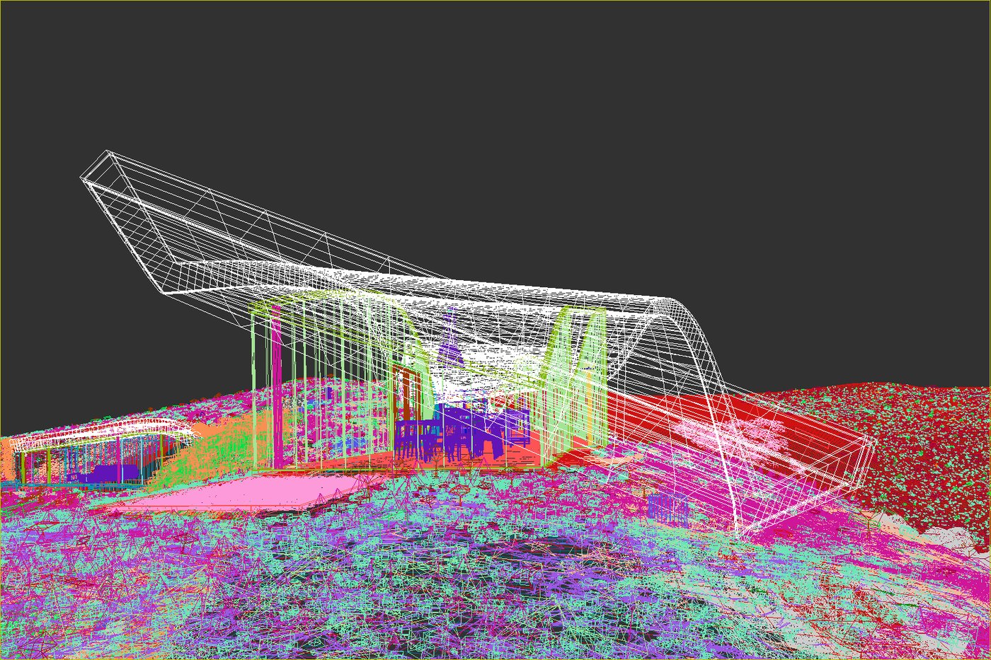
Phase I: compilation of photographic and planimetric documentation and planimetric delineation in Cad.
Phase II: architectural and furniture modelling.
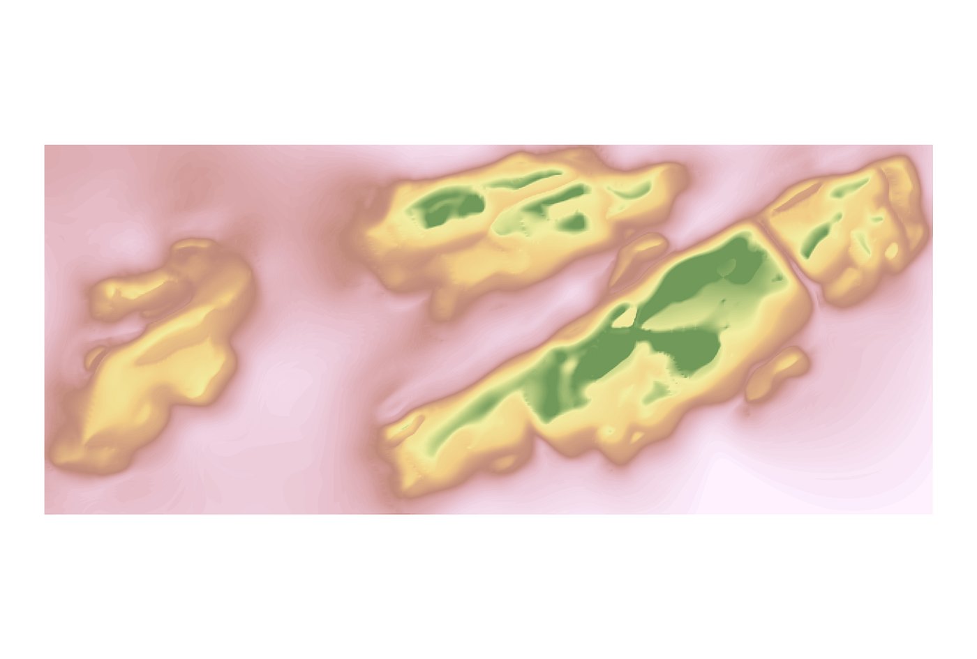
Phase III: terrain modelling.
ArcGis: contour lines delineated in CAD to digital elevation model to .tif used
as the basis for the Displace modifier.
3dsmax: plane + VrayBitmap with the .tif as the Displace map.
Final adjustments on terrain plan and islands.
Phase IV: placement and configuration of cameras on the model.
Phase V: illumination using different HDRIs per camera + calibration of camera parameters (aperture, shutter speed, ISO, auto-tilt and blur through depth of field).


Phase VII: research and pre-studies of materials for terrain, islands and oceans and of vegetation elements, pebbles and cobbles and rocky elements using process renders.
Phase VIII: creation of composite terrain, island and ocean materials.
Phase V: general forestpack scattering with V-Ray proxies of vegetation and pebbles and cobbles by size and incorporation of natural rocky elements.
Phase VI: detail forestpack scattering with V-Ray proxies and natural elements by camera.
Phase VII: review of lighting and materials and inclusion of imperfection details in them.
Phase VIII: incorporation of reflection planes of distant mountain elements using VrayLightMtl with selected bitmaps.
Phase IX: rendering and first basic retouches in the V-Ray Frame Buffer.
Phase X: post-production in Photoshop.
THE END


The realization of this project has been key to consolidate all the knowledge acquired during the master.
However, I would like to highlight the intensive research and experimentation carried out throughout the process, given the complexity of the project and the territory in which it is located, a combination of abrupt reliefs and rough and wild materials and desert vegetation, all facing the brave Pacific Sea.


Finally, I would like to make a special mention to 24Studio learning school and to my mentors Jesús Manuel Jiménez and Jorge Bermejo Pascual.


Comments (0)
This project doesn't have any comments yet.